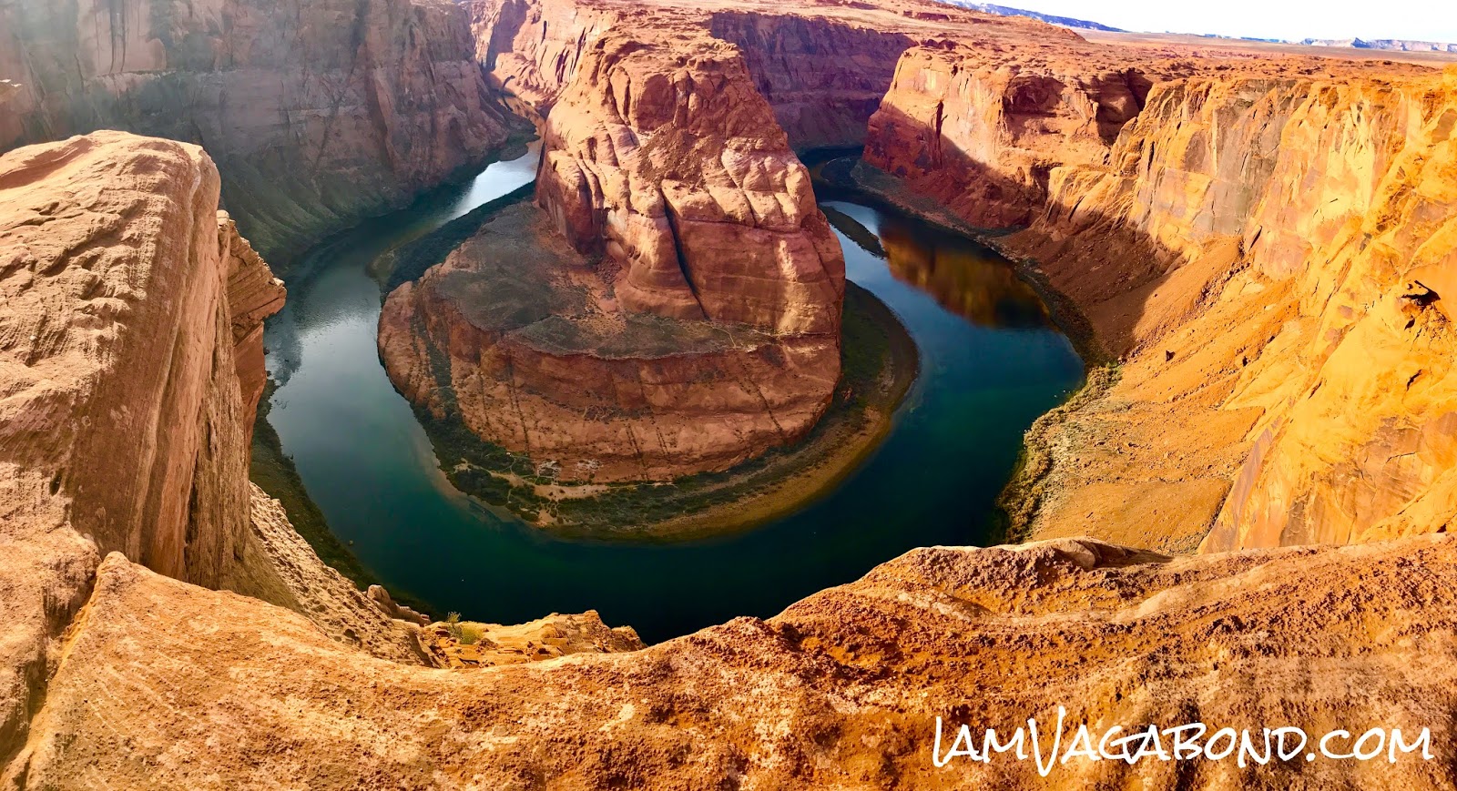
Horseshoe Bend is a horseshoe-shaped incised meander of the Colorado River located near the town of Page, Arizona
To get here:
From the Glen Canyon Dam on US-89 head south for 5.1 miles. At around 5 miles from the Glen Canyon Dam, you’ll see a sign for Horseshoe Bend Overlook. Turn right into parking area.
If coming from the south, take US-89 north to Page, Arizona and before coming into town you’ll see a Horseshoe Bend Overlook sign. Turn left into the parking lot.
A short hike off the highway takes you to the top of the cliff overlooking Horseshoe Bend and the Colorado River over 1100 feet below.
Distance – 1.25 miles roundtrip
Approximate hiking time – 30 minutes to an hour
Elevation at Trailhead – 4327 feet
Elevation highpoint on Trail – 4373 feet
Elevation at Overlook – 4214 feet
Difficulty – Easy, however there are steep dropoffs, stay away from cliff edges
No comments:
Post a Comment